eOffice

Description Key Features
The data hub to process field works in office.
Engines for accuracy and productivity.

eOffice is an office software for post-processing and analyzing raw GNSS data (GPS, GLONASS, BeiDou), obtaining high accuracy positioning solution in both static and PPK working modes. 
 
Designed as a fully-integrated platform to make a link between your field survey and GNSS post processing requirements, eOffice is an advanced yet easy-to-use GNSS data post-processing solution for geodetic, surveying, UAV trajectography and ground control points (GCPs) and road construction applications.

Latest algorithms for fast and accurate data processing

  • Accuracy is the priority with ongoing research and development.
  • Quality control throughout the entire workflow.
 

Integrated GNSS data engines, more than just post-processing 

  • Static, PPK, PPP, and RTK.
  • Advanced road functionality.
  • UAV module for POS processing.
 

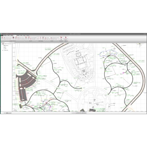
Enhanced graphic features for vivid data visualization

  • Online maps are available to display onto projects.
  • Embedded new GIS engine for layers, features, and drawings.
  • Road data is displayed into map automatically.
 

Extensive utilities toolset

  • Large library of geodetic tools including coordinates converter, GNSS observation data manager, TIFF map compressor, angle/distance/volume calculator.