eField

Description Key Features
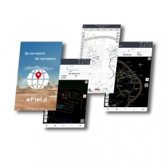
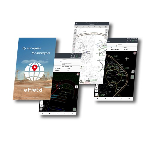
Productivity is the priority.
Comprehensive and intuitive for surveying and engineering

eField is the latest field-proven survey software solution for any Android devices and EFIX data controllers. Designed for high precision surveying and mapping tasks, eField provides seamless workflow management, easy-to-learn and easy-to-use graphical user interface to complete all your projects efficiently. Comprehensive data import and export formats, multiple measurement and stakeout methods ensure instant productivity.


Functionalities are all there

  • Survey and stakeout of points, lines, polygons, regions, and surfaces,
  • For topographic survey, construction and engineering, mapping, GIS data collections, road projects, and pipeline survey applications.
 

Strong graphic engine enables rich GIS and mapping features

  • CAD, ArcGIS, and some other base-map files are supported.
  • Points and lines can be selected directly from base-maps and staked out.
  • Layers and codes can be easily defined and reused.
  • Survey results are visualized directly into the map, and colors and styles can be customized.
  • Switch between online and offline Google Maps with just a few clicks, allowing surveyors to precisely see their location.
 

Intuitive user interface makes the professional software easy to learn and easy to use.

  • Structure and menus are optimized for users to quickly understand the application and find the right information.
  • Work modes are easy to configure and check. Parameters will be automatically applied in following sessions when needed.